Teaching GIS to Teachers
Kia ora!
Yesterday I was given the task to teach a group of 20 high school teachers a crash course on GIS. This was as part of a community outreach program hosted by the School of Environment at my University. I wrote up a lesson planner which you can access here.
The lesson planner covers an introduction to GISystems, basic vector followed by basic raster analysis. I was quite nervous to deliver the lesson, not only because I suspected by year 10 science teacher was part of the group, but because the final section especially covers geospatial methods that can be quite daunting to new users.
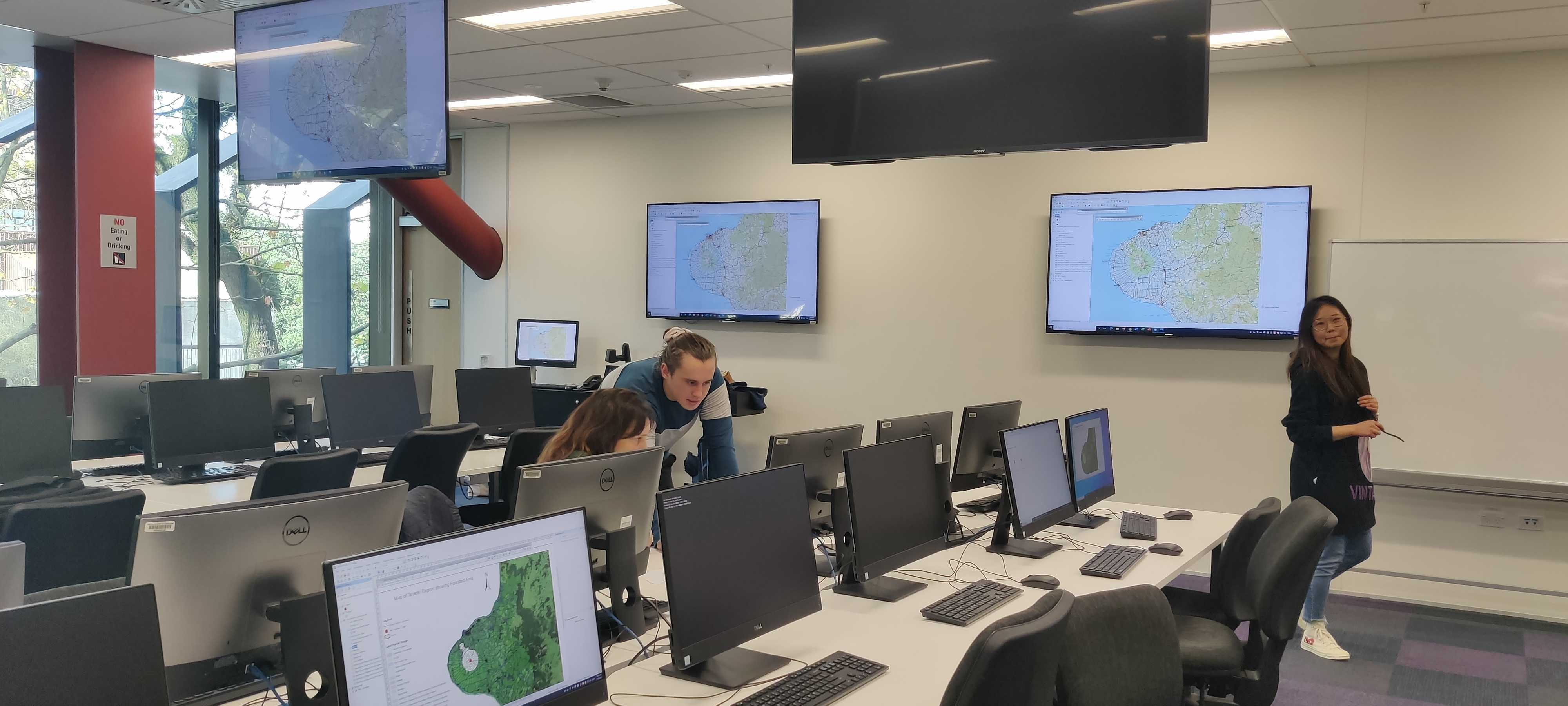
We didn’t take many photos, but here was me showing an eager teacher where to find data on the stream near their school using LINZ Data Service:
Luckily, everything went swimmingly. The teachers were engaged and interested, had challenges but were able to solve them (thanks to my assistant Wila), and left asking lots of questions on how they might tackle using this lesson planner or building internals around GIS. I feel very priveledgded to be able to help bring more GIS education to high school, and is something I have been very passionate about for a while. I think that the absence of GIS in high school is a big shame - it is possible that the sector is going to miss out on a tonne of creative thinkers just because they have no idea what GIS is.
Please have a look at my lesson planner and see what you think. The methods are a bit simplistic, but I am pretty happy with how it turned out and the teachers seemed to like it to!